°F
-
°C
more weather...
Live Webcams
About Aruba
Aruba is a 19 miles (30 km)- long island of the Lesser Antilles in the southern Caribbean Sea. It's a mere 15 miles (24 km) from the coast of Venezuela. On a clear day the Venezuelan mainland is visible from the south-eastern coast. Together with Bonaire and Curaçao, it forms a group referred to as the ABC islands of the Leeward Antilles, the southern island chain of the Lesser Antilles.
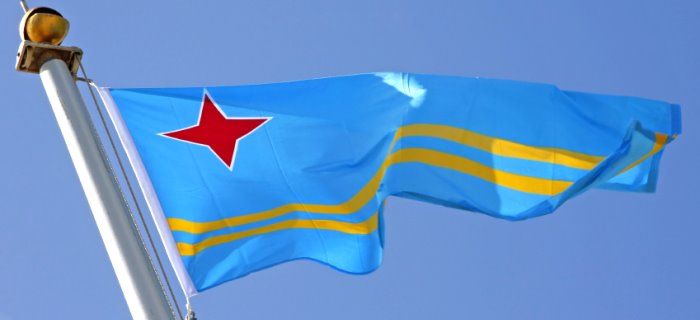
Aruba, which has no administrative subdivisions, is one of the four constituent countries that form the Kingdom of the Netherlands, together with The Netherlands, Curaçao, and Sint Maarten. Aruban citizens hold Dutch passports.
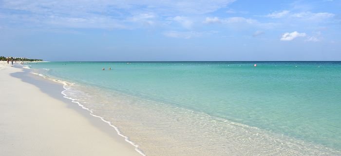
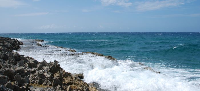
The oblong island is fronted by heavy surf and a jagged coast on our northern, windward side and by seven miles (11 km) of honey-colored sand beaches on the southern leeward coast. It's some 75 square miles (193 km2) in area and measures about five miles (8 km) at it widest point and 19 miles (30 km) in length. Aruba is an easy island to get around, the road systems are in good shape, well-marked,and, let's face it, it's hard to get lost for too long on an island where the coast is never more than 3 miles away.
Island Facts
| Anthem | Aruba Dushi Tera |
| Capital | Oranjestad |
| Languages | Papiamento, Dutch |
| Currency | Aruban florin (AWG) |
| Time zone | AST (UTC-04) |
| Airport Code | AUA |
| Internet TLD | .aw |
| Calling Code | 297 |
| Electricity | 120V/60Hz (North American plug) |
| Highest point | Ceru Jamanota 188 m |